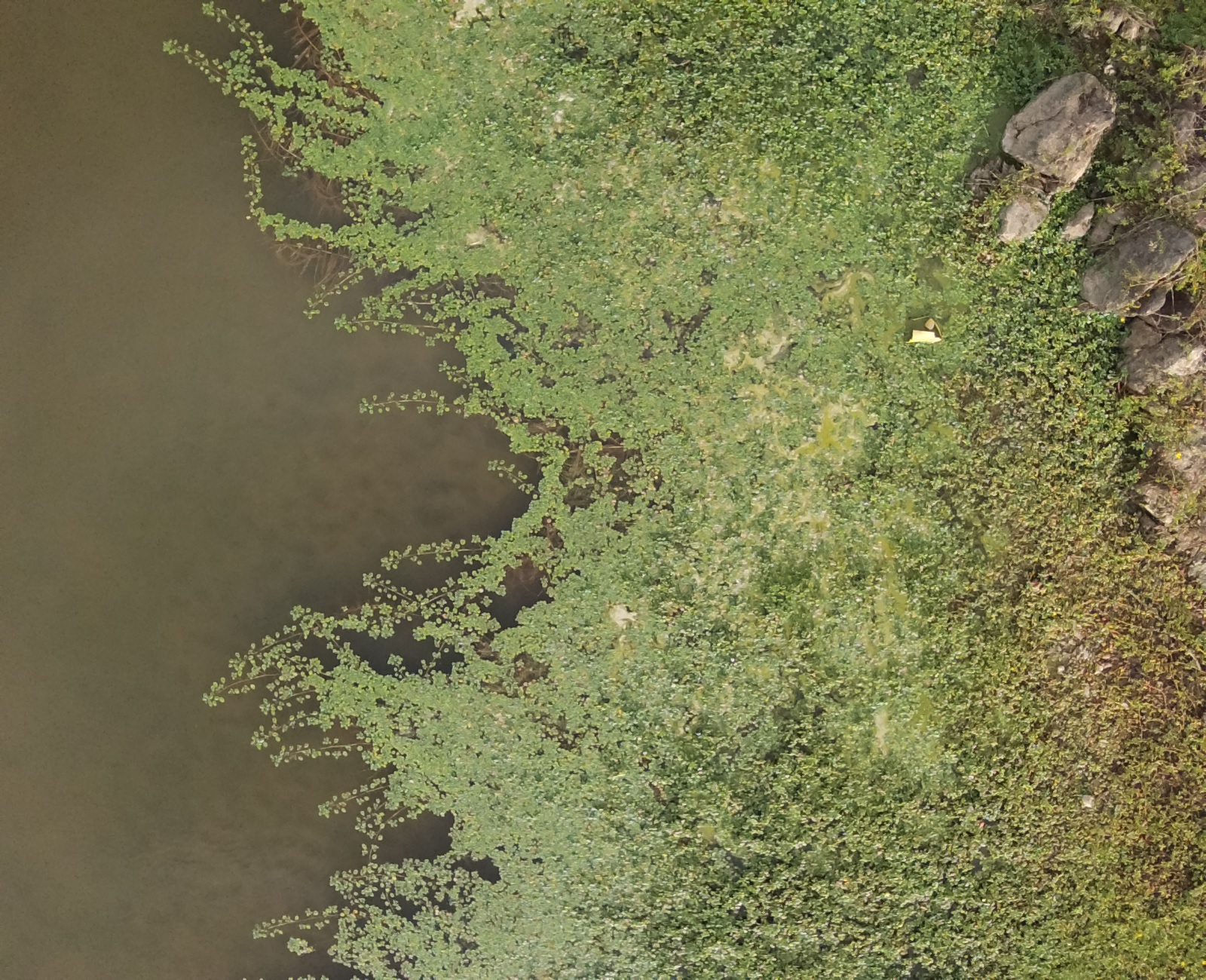
Ludwigia peploides is a species natural to South America that invades rivers, ponds, and rice fields. It can grow in deep waters, as a fully or partially submerged plant, and form floating mantles. When this happens, it prevents the entry of light affecting submerged species and blocking the water lines, affecting navigation, fishing, and recreational use. It competes for space by eliminating native species and producing substances that inhibit the germination and growth of other species. It reproduces vegetatively through stem fragmentation but also seeds. The species stems can grow between 10 cm and 3 m, hence its ability to form large mantles. The leaves are a bright green (that most of the time stands out from the rest of the present vegetation) and can have a lanceolate or oval shape. They measure between 2.5 and 3.8 centimeters, and both the stem and the leaves have different trichomes distributed over the surface. Ludwigia peploides also have solitary flowers with yellow petals, which measure from one to 1.5 cm in length, and which develop from tassels emerging from the upper part of the axillary bud. The species blooming period occurs from midspring to early fall, and during this period, the plant is easily identifiable. This is also the period where the species grows the most.
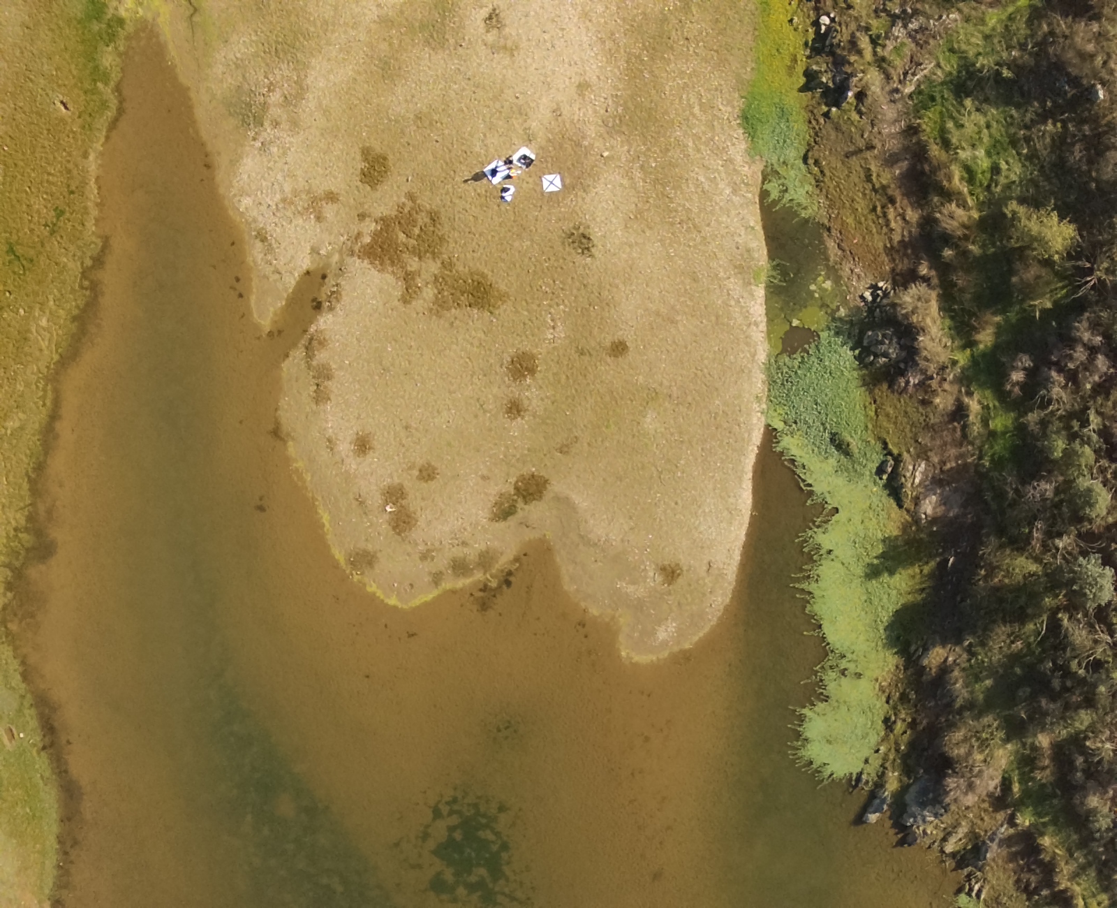
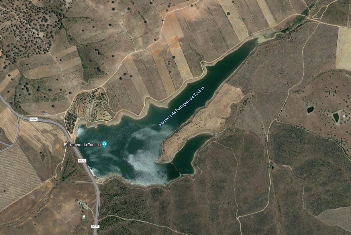
The data was captured at Reservoir of the Toulica Dam (Zebreira, Portugal), located in the hydrographic basin of the Aravil river, a tributary of the Tagus.
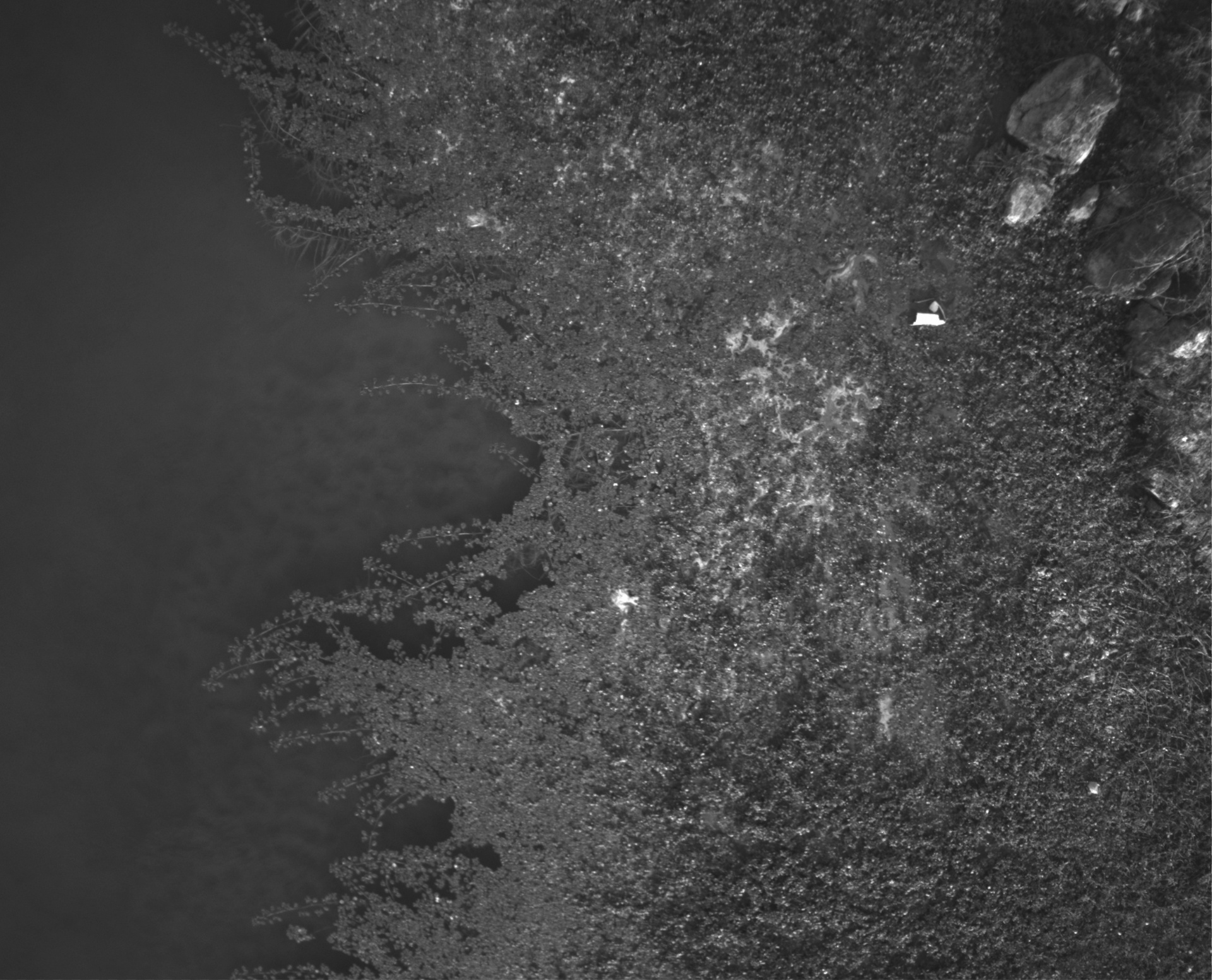
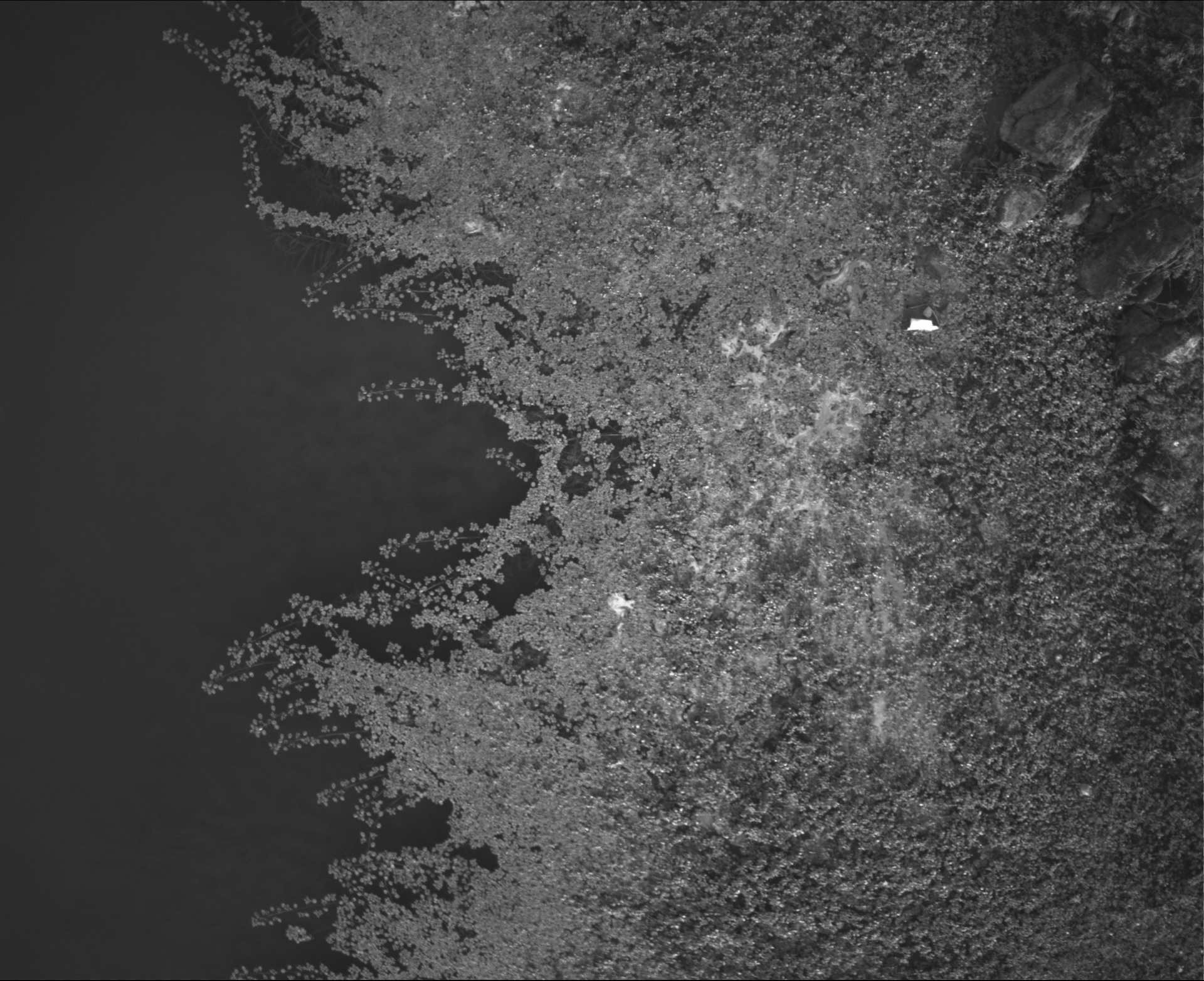
To collect our data, we visited the study site twice (October 11th and 20th, 2021). The drone used to caprute the data us a DJI P4 Mutispectral. More information about the drone can be seen here. We captured all our data with the camera straight down and the drone set to hover mode. This ensures the drone is more stable while collecting data, resulting in better quality images withut distortions caused by motion.
The data was taken at various times of the day to capture variations in solar reflection and atmospheric conditions. Note that no data was collected at solar noon, as it would result in overexposed images, due to the light being reflected from the lake's surface.
The data was collected at different altitudes, ranging from 10 m to 70 m.
Altitude | Time | Number of images |
---|---|---|
10 m | 11h - 12:45h 15:30h - 17h |
435 |
15 m | 11h - 12h | 365 |
40 m | 10h - 12:45h | 135 |
70 m | 11h - 12h | 27 |
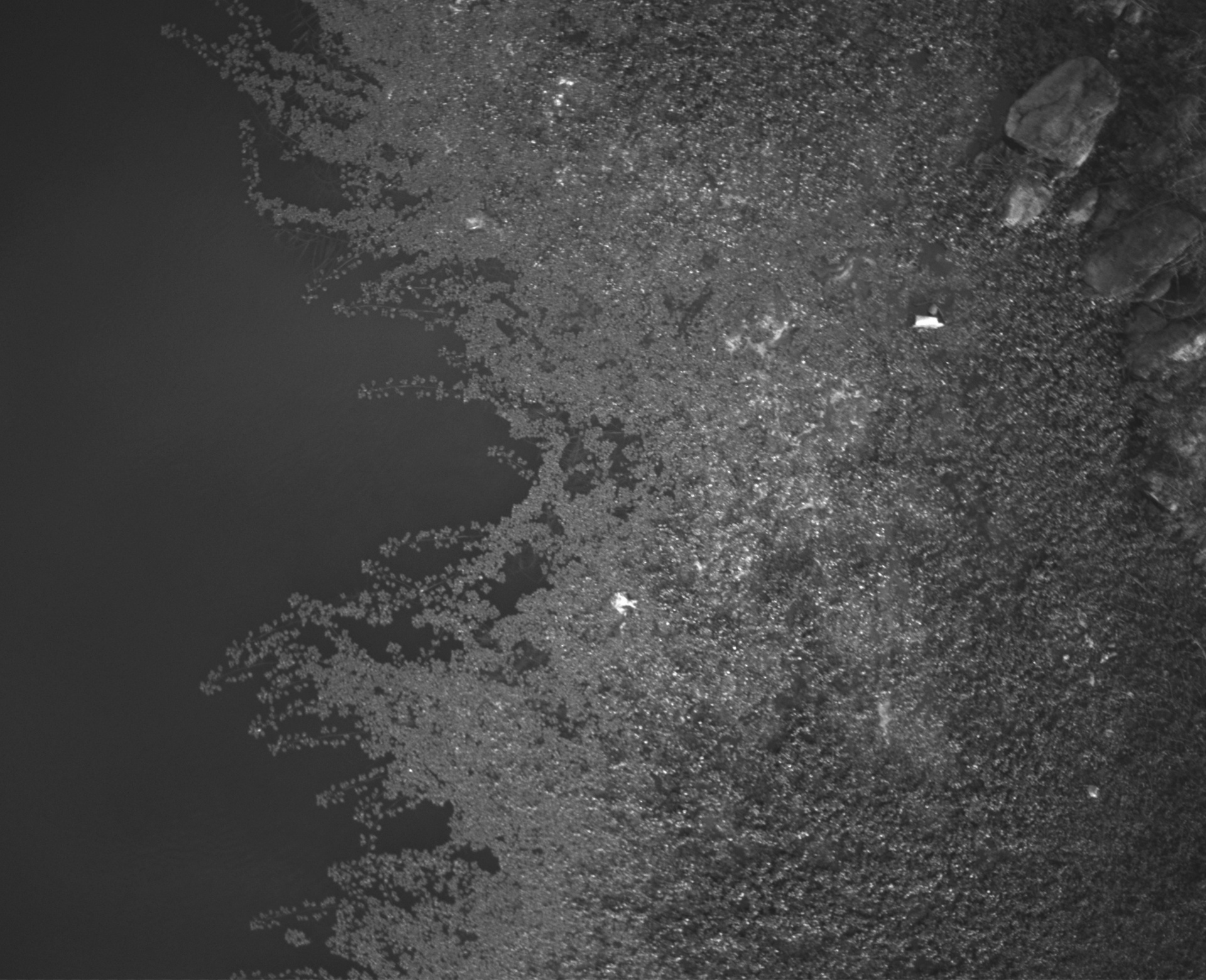
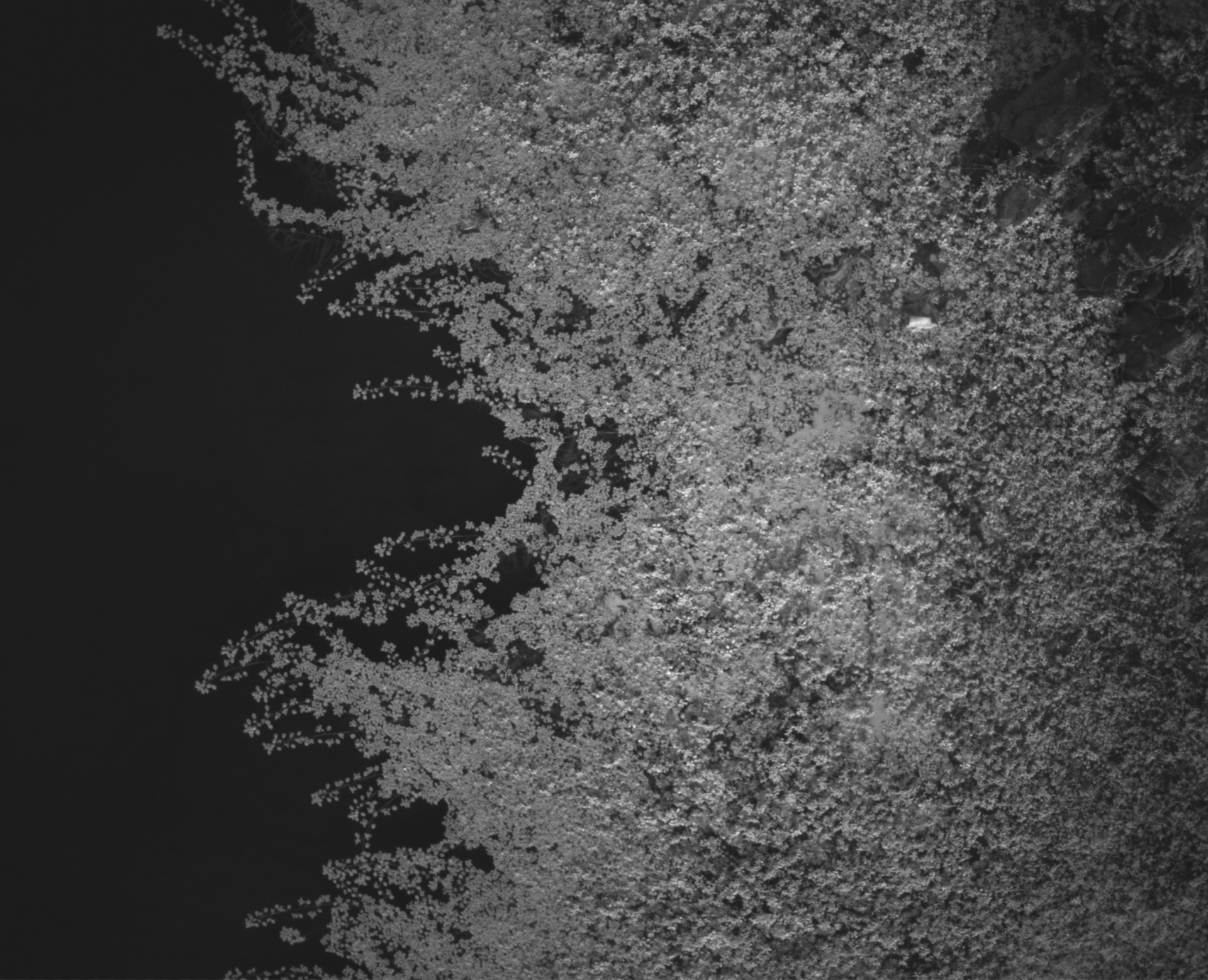
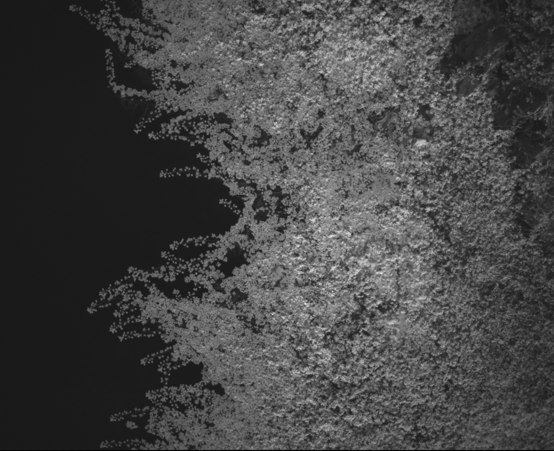
RGB image.
Red band.
Green band.
Blue band.
Red Edge band.
Near Infra-red band.
If you use this data set, please cite the following
publication:
Abreu, A.J., Alexandre, L.A., Santos, J.A., Basso, F.
"LudVision - Remote Detection of Exotic Invasive Aquatic Floral Species using Drone-Mounted Multispectral Data",
CoRR, abs/2207.05620, 2022.
Bibtex
Below are listed some of the published papers that used images of the LudVision data set in their experiments. If you are aware of another one(s) and wish to include it (them) on this list, please send us an email with an electronic copy of the paper and the information about its publication.
Abreu, A.J., Alexandre, L.A., Santos, J.A., Basso, F.
"LudVision - Remote Detection of Exotic Invasive Aquatic Floral Species using Drone-Mounted Multispectral Data",
CoRR, abs/2207.05620, 2022.
The LudVision project was deveoped in the scope of a master theis in computer science and engeneering at Universidade da Beira Interior.
(We will share a link as soon as the thesis is available to the public).
SOCIA Lab. – Soft Computing and Image Analysis Group
Department of Computer Science,
University of Beira Interior,
6201-001 Covilhã, Portugal
This data set was created during a computer science and engineering master thesis that was funded by Zirak srl – Information Technology and by NOVA LINCS (UIDB/04516/2020) with the financial support of FCT-Fundação para a Ciência e a Tecnologia, through national funds.